Find the changes.
Compare sea temperature, chlorophyll and currents with offshore depth contours and fishing spots.
Sea temperature, water color, weather and fishing grounds in one map. Build a clearer picture before you leave the dock.
An account is required to explore the web map.
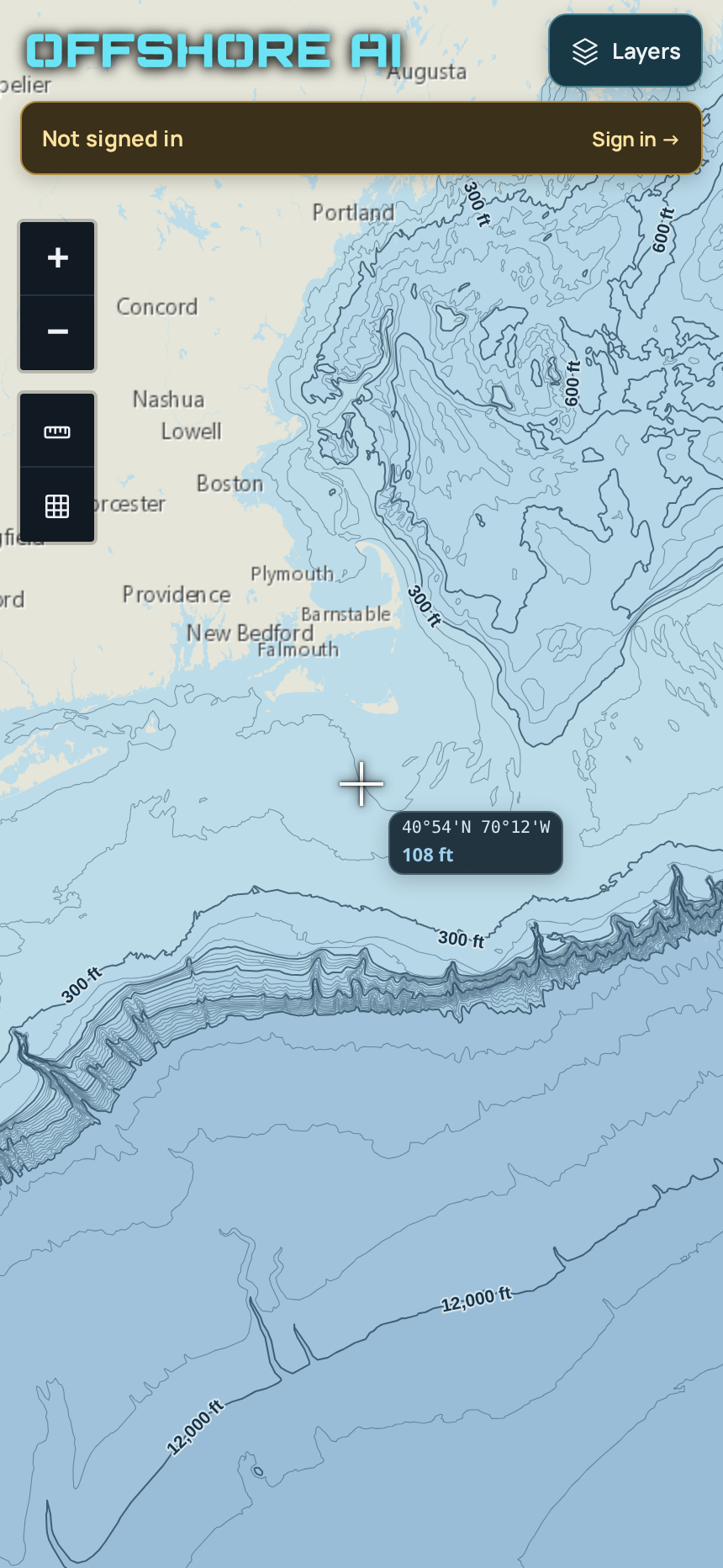
Compare sea temperature, chlorophyll and currents with offshore depth contours and fishing spots.
Check wind and waves over time. Draw a track and estimate distance, run time and fuel burn for your boat.
Explore buoy readings and AIS vessel activity where coverage is available, alongside the conditions that matter to your trip.
Get a fishing-focused assessment of an area’s conditions. Reports require a purchased credit and currently cover Northeast offshore waters. Creating an account does not purchase a report.
Coverage and freshness vary by source and location. OffshoreAI supports trip planning and does not replace official navigation charts, forecasts or your judgment on the water.